
3D-Printed Topographical Maps Made from Google Maps, Terrain2STL | #3DPrinting #3DThursday @googlemaps
from 3D-Printed Topographical Maps Made from Google Maps, Terrain2STL | #3DPrinting #3DThursday @googlemaps
by nicknormal
by nicknormal
Ben from maker-tutorials has a great tut for converting topographical data into 3D-printed landscapes. As he suggests yes you could use this as a record of your summit, for instance – I can also see applications for tabletop wargaming, adding ‘terrain’ to aquarium environments, or art projects requiring various terrains. Very cool:
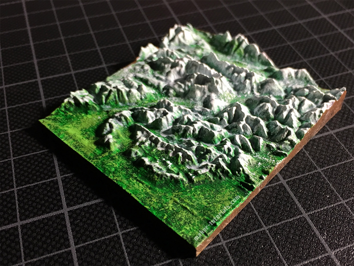
You climbed on top of one of the highest moutains and want to make a small 3D model of the landscape?
Such a minature mountain is a nice gift for climbers, skier or a memory of a beautiful moment.
In this tutorial you will learn how you can print a minature landscape with a 3D printer and what you need to take care of.
Read more here.

Read more here.
Comments
Post a Comment